
Inversnaid Garrison
Introduction
The photograph on this page of Inversnaid Garrison by Elizabeth Angus as part of the Geograph project.
The Geograph project started in 2005 with the aim of publishing, organising and preserving representative images for every square kilometre of Great Britain, Ireland and the Isle of Man.

There are currently over 7.5m images from over 14,400 individuals and you can help contribute to the project by visiting https://www.geograph.org.uk
Inversnaid Garrison
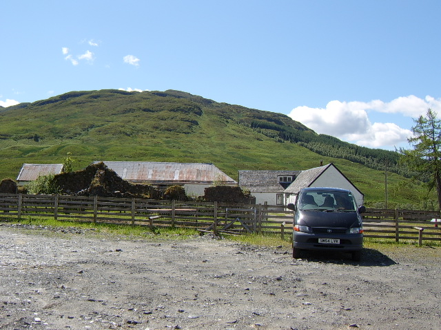
Image: © Elizabeth Angus Taken: 18 Jun 2012
The remains of Inversnaid Garrison, built in 1718-19. Some of the garrison has been incorporated into the farm buildings. The garrison was one of many built by the Government in the aftermath of the 1715 Jacobite uprising, and this particular one may also have been an attempt to subdue Rob Roy McGregor, who was active in the area at this time. By the 1820s the buildings were in disrepair and being used as an inn, and they fell into disuse soon afterwards.
Images are licensed for reuse under creativecommons.org/licenses/by-sa/2.0
Image Location

Latitude
56.250392
Longitude
-4.667138