Old turnpike parish boundary marker in Frenchay
Introduction
The photograph on this page of Old turnpike parish boundary marker in Frenchay by Jaggery as part of the Geograph project.
The Geograph project started in 2005 with the aim of publishing, organising and preserving representative images for every square kilometre of Great Britain, Ireland and the Isle of Man.

There are currently over 7.5m images from over 14,400 individuals and you can help contribute to the project by visiting https://www.geograph.org.uk
Old turnpike parish boundary marker in Frenchay
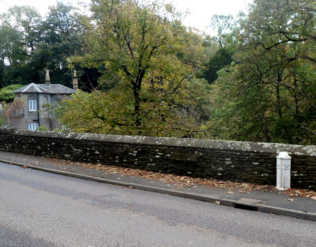
Image: © Jaggery Taken: 18 Oct 2012
Located on the bridge carrying Cleeve Road over the River Frome. Dated 1823, the Bristol Turnpike Trust marker shows Manor P(arish) on the left and Winter P(arish) on the right.
Images are licensed for reuse under creativecommons.org/licenses/by-sa/2.0
Image Location
Latitude
51.497112
Longitude
-2.514076