Ash Dale
Introduction
The photograph on this page of Ash Dale by Gordon Hatton as part of the Geograph project.
The Geograph project started in 2005 with the aim of publishing, organising and preserving representative images for every square kilometre of Great Britain, Ireland and the Isle of Man.

There are currently over 7.5m images from over 14,400 individuals and you can help contribute to the project by visiting https://www.geograph.org.uk
Ash Dale
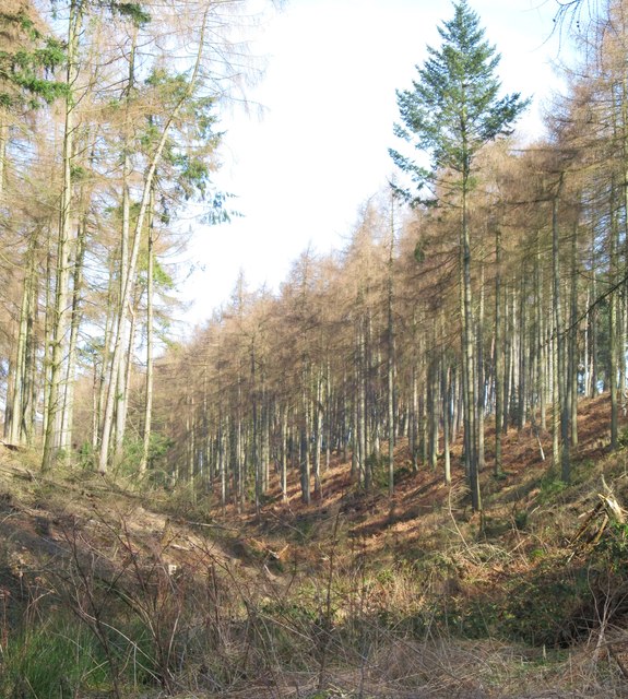
Image: © Gordon Hatton Taken: 10 Mar 2014
A typical dry valley on the Tabular Hills. Ash Dale doesn't live up to its title at this point as larch and other conifers are the main species of tree.
Images are licensed for reuse under creativecommons.org/licenses/by-sa/2.0
Image Location
Latitude
54.283447
Longitude
-1.073916