Tour de France 2014 Route - Worrall, near Oughtibridge - 7
Introduction
The photograph on this page of Tour de France 2014 Route - Worrall, near Oughtibridge - 7 by Terry Robinson as part of the Geograph project.
The Geograph project started in 2005 with the aim of publishing, organising and preserving representative images for every square kilometre of Great Britain, Ireland and the Isle of Man.

There are currently over 7.5m images from over 14,400 individuals and you can help contribute to the project by visiting https://www.geograph.org.uk
Tour de France 2014 Route - Worrall, near Oughtibridge - 7
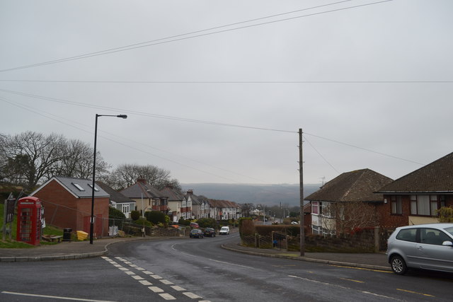
Image: © Terry Robinson Taken: 8 Mar 2014
This view follows on from Picture 6 … and shows the top end of Haggstones Road. Still downhill at this point and continues so for a few more miles, until the Cote d'Oughtibridge For more Tour de France Route views in the Worrall area … see … Image Image Image Image Image Image
Images are licensed for reuse under creativecommons.org/licenses/by-sa/2.0
Image Location
Latitude
53.425612
Longitude
-1.538564