Tour de France 2014 Route - Worrall, near Oughtibridge - 6
Introduction
The photograph on this page of Tour de France 2014 Route - Worrall, near Oughtibridge - 6 by Terry Robinson as part of the Geograph project.
The Geograph project started in 2005 with the aim of publishing, organising and preserving representative images for every square kilometre of Great Britain, Ireland and the Isle of Man.

There are currently over 7.5m images from over 14,400 individuals and you can help contribute to the project by visiting https://www.geograph.org.uk
Tour de France 2014 Route - Worrall, near Oughtibridge - 6
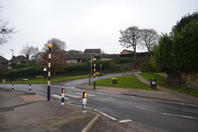
Image: © Terry Robinson Taken: 8 Mar 2014
Another view of the Kirk Edge Road and Haggstones Road junction. The riders will come down the hill and sweep round to pass the photo position. Looks like a handy seat is available … get there early !! Worrall Road runs off to the left but is not part of the route For more Tour de France Route views in the Worrall area … see … Image Image Image Image Image Image Update in June 2014 A Sculpture commemorating the Tour de France has now been erected close to this junction ... see ... Image
Images are licensed for reuse under creativecommons.org/licenses/by-sa/2.0
Image Location
Latitude
53.423723
Longitude
-1.538434