Tour de France 2014 Route - Worrall, near Oughtibridge - 5
Introduction
The photograph on this page of Tour de France 2014 Route - Worrall, near Oughtibridge - 5 by Terry Robinson as part of the Geograph project.
The Geograph project started in 2005 with the aim of publishing, organising and preserving representative images for every square kilometre of Great Britain, Ireland and the Isle of Man.

There are currently over 7.5m images from over 14,400 individuals and you can help contribute to the project by visiting https://www.geograph.org.uk
Tour de France 2014 Route - Worrall, near Oughtibridge - 5
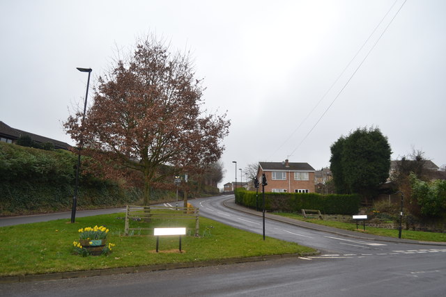
Image: © Terry Robinson Taken: 8 Mar 2014
This view, continues on from Picture 3, and shows the junction of Kirk Edge Road approaching from the top and Haggstones Road leading off to the right. The riders will approach from the top and at this point will be braking hard in order to sweep around the bend … then it's a short flat bit and then more fast downhill sections until they arrive in Oughtibridge and start to climb the infamous Jawbone Hill Worrall Road is on the left … but is not part of the route For more Tour de France Route views in the Worrall area … see … Image Image Image Image Image Image
Images are licensed for reuse under creativecommons.org/licenses/by-sa/2.0
Image Location
Latitude
53.423723
Longitude
-1.538434