Across Pontardawe Aqueduct
Introduction
The photograph on this page of Across Pontardawe Aqueduct by Jaggery as part of the Geograph project.
The Geograph project started in 2005 with the aim of publishing, organising and preserving representative images for every square kilometre of Great Britain, Ireland and the Isle of Man.

There are currently over 7.5m images from over 14,400 individuals and you can help contribute to the project by visiting https://www.geograph.org.uk
Across Pontardawe Aqueduct
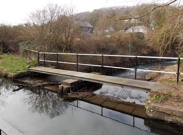
Image: © Jaggery Taken: 1 Mar 2014
The mirror surface of the disused Swansea Canal contrasts with areas of white water on the Upper Clydach River flowing under the aqueduct.
Images are licensed for reuse under creativecommons.org/licenses/by-sa/2.0
Image Location
Latitude
51.719552
Longitude
-3.853221