Spar at crossroads NW of Westbury
Introduction
The photograph on this page of Spar at crossroads NW of Westbury by Jaggery as part of the Geograph project.
The Geograph project started in 2005 with the aim of publishing, organising and preserving representative images for every square kilometre of Great Britain, Ireland and the Isle of Man.

There are currently over 7.5m images from over 14,400 individuals and you can help contribute to the project by visiting https://www.geograph.org.uk
Spar at crossroads NW of Westbury
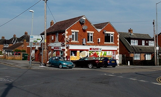
Image: © Jaggery Taken: 8 Mar 2014
Located in The Ham at the junction of Station Road, Brook Lane, Storridge Road and The Ham. The sign pointing right along the B3097 The Ham shows Hawkeridge, Chippenham, Warminster, Frome. The post office sign seen in this http://www.geograph.org.uk/photo/818525 view from 2008 has gone.
Images are licensed for reuse under creativecommons.org/licenses/by-sa/2.0
Image Location
Latitude
51.268959
Longitude
-2.201197