Belville Street at Belville Avenue
Introduction
The photograph on this page of Belville Street at Belville Avenue by Thomas Nugent as part of the Geograph project.
The Geograph project started in 2005 with the aim of publishing, organising and preserving representative images for every square kilometre of Great Britain, Ireland and the Isle of Man.

There are currently over 7.5m images from over 14,400 individuals and you can help contribute to the project by visiting https://www.geograph.org.uk
Belville Street at Belville Avenue
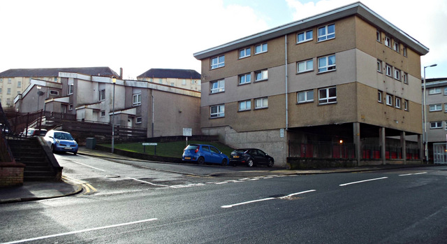
Image: © Thomas Nugent Taken: 1 Mar 2014
Owing to its close proximity to the shipyards and several railway lines, much of the street was destroyed during the Greenock Blitz in 1941. These buildings must have appeared futuristic when they were built.
Images are licensed for reuse under creativecommons.org/licenses/by-sa/2.0
Image Location
Latitude
55.940825
Longitude
-4.741423