King Street, Aberdeen
Introduction
The photograph on this page of King Street, Aberdeen by Bill Harrison as part of the Geograph project.
The Geograph project started in 2005 with the aim of publishing, organising and preserving representative images for every square kilometre of Great Britain, Ireland and the Isle of Man.

There are currently over 7.5m images from over 14,400 individuals and you can help contribute to the project by visiting https://www.geograph.org.uk
King Street, Aberdeen
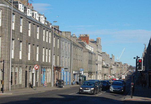
Image: © Bill Harrison Taken: 1 Mar 2014
The main road north towards Fraserburgh was laid out in about 1804 according to plans of Charles Abercrombie as an early example of town planning.
Images are licensed for reuse under creativecommons.org/licenses/by-sa/2.0
Image Location
Latitude
57.150875
Longitude
-2.094027