St Laurence's RC Church
Introduction
The photograph on this page of St Laurence's RC Church by Thomas Nugent as part of the Geograph project.
The Geograph project started in 2005 with the aim of publishing, organising and preserving representative images for every square kilometre of Great Britain, Ireland and the Isle of Man.

There are currently over 7.5m images from over 14,400 individuals and you can help contribute to the project by visiting https://www.geograph.org.uk
St Laurence's RC Church
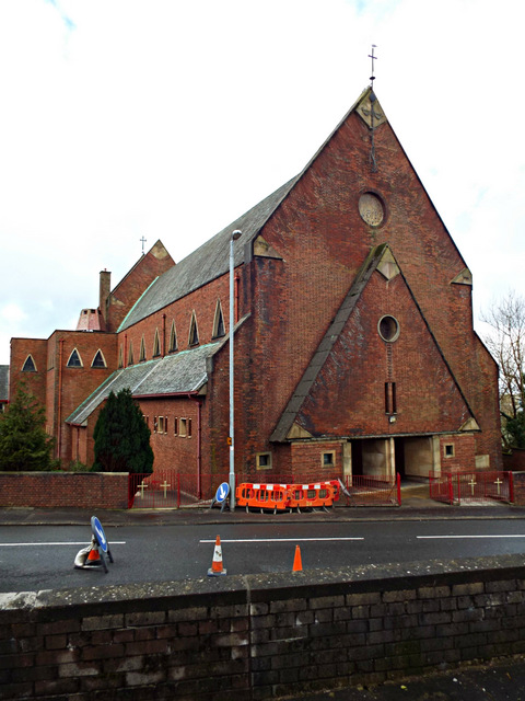
Image: © Thomas Nugent Taken: 1 Mar 2014
On Kilmacolm Road at Belville Street http://www.rcdop.org.uk/index.cfm?load=org&org=18 . A Category A Listed building http://data.historic-scotland.gov.uk/pls/htmldb/f?p=2200:15:0::::BUILDING:34184 by Gillespie, Kidd and Coia.
Images are licensed for reuse under creativecommons.org/licenses/by-sa/2.0
Image Location


Leaflet Map data © OpenStreetMap
Latitude
55.939917
Longitude
-4.745843