Derryinver townland
Introduction
The photograph on this page of Derryinver townland by Dean Molyneaux as part of the Geograph project.
The Geograph project started in 2005 with the aim of publishing, organising and preserving representative images for every square kilometre of Great Britain, Ireland and the Isle of Man.

There are currently over 7.5m images from over 14,400 individuals and you can help contribute to the project by visiting https://www.geograph.org.uk
Derryinver townland
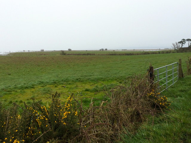
Image: © Dean Molyneaux Taken: 9 Mar 2014
Derryinver ('Doire Inbhir' - the oakwood at the mouth of the river) is a townland situated to the north of Derrytrasna on the southern shore of Lough Neagh. Indeed the lough can be seen in the distance, having flooded several fields.
Images are licensed for reuse under creativecommons.org/licenses/by-sa/2.0
Image Location
Latitude
54.516976
Longitude
-6.493655