St John the Evangelist, Bourne End
Introduction
The photograph on this page of St John the Evangelist, Bourne End by Bikeboy as part of the Geograph project.
The Geograph project started in 2005 with the aim of publishing, organising and preserving representative images for every square kilometre of Great Britain, Ireland and the Isle of Man.

There are currently over 7.5m images from over 14,400 individuals and you can help contribute to the project by visiting https://www.geograph.org.uk
St John the Evangelist, Bourne End
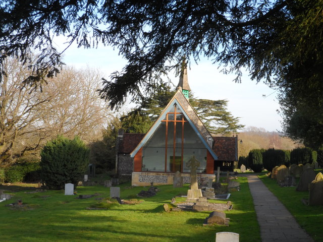
Image: © Bikeboy Taken: 8 Mar 2014
Completed in 1855 and designed by George Gilbert Scott. The new extension was completed in 2007.
Images are licensed for reuse under creativecommons.org/licenses/by-sa/2.0
Image Location
Latitude
51.748265
Longitude
-0.529689