South Gloucestershire : Severn Estuary
Introduction
The photograph on this page of South Gloucestershire : Severn Estuary by Lewis Clarke as part of the Geograph project.
The Geograph project started in 2005 with the aim of publishing, organising and preserving representative images for every square kilometre of Great Britain, Ireland and the Isle of Man.

There are currently over 7.5m images from over 14,400 individuals and you can help contribute to the project by visiting https://www.geograph.org.uk
South Gloucestershire : Severn Estuary
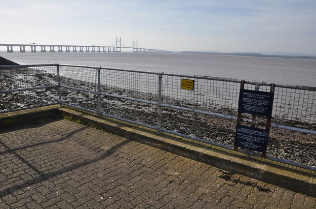
Image: © Lewis Clarke Taken: 8 Mar 2014
Looking across the Severn Estuary and a sign which gives information on the old Bristol & South Wales Union Railway.
Images are licensed for reuse under creativecommons.org/licenses/by-sa/2.0
Image Location
Latitude
51.574603
Longitude
-2.660837