Court Barton, Lamerton
Introduction
The photograph on this page of Court Barton, Lamerton by Derek Harper as part of the Geograph project.
The Geograph project started in 2005 with the aim of publishing, organising and preserving representative images for every square kilometre of Great Britain, Ireland and the Isle of Man.

There are currently over 7.5m images from over 14,400 individuals and you can help contribute to the project by visiting https://www.geograph.org.uk
Court Barton, Lamerton
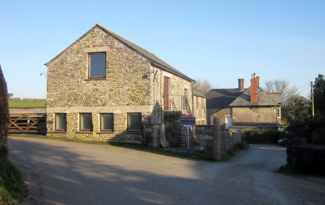
Image: © Derek Harper Taken: 8 Mar 2014
A slightly closer look than Image The lane to Chaddlehanger bends sharply left here; Lamerton Footpath 25 leaves to the right, taking you to the church.
Images are licensed for reuse under creativecommons.org/licenses/by-sa/2.0
Image Location
Latitude
50.573319
Longitude
-4.189046