Trig point at Spitewinter
Introduction
The photograph on this page of Trig point at Spitewinter by Trevor Littlewood as part of the Geograph project.
The Geograph project started in 2005 with the aim of publishing, organising and preserving representative images for every square kilometre of Great Britain, Ireland and the Isle of Man.

There are currently over 7.5m images from over 14,400 individuals and you can help contribute to the project by visiting https://www.geograph.org.uk
Trig point at Spitewinter
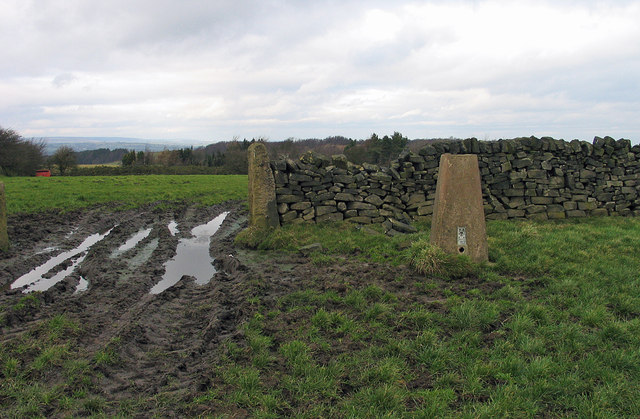
Image: © Trevor Littlewood Taken: 4 Feb 2005
The trig point known to the OS as Spitewinter lies in farmland close to the settlement of the same name, south-west of Chesterfield.
Images are licensed for reuse under creativecommons.org/licenses/by-sa/2.0
Image Location
Latitude
53.195052
Longitude
-1.49479