St Anne's Wood, Donaghadee (March 2014)
Introduction
The photograph on this page of St Anne's Wood, Donaghadee (March 2014) by Albert Bridge as part of the Geograph project.
The Geograph project started in 2005 with the aim of publishing, organising and preserving representative images for every square kilometre of Great Britain, Ireland and the Isle of Man.

There are currently over 7.5m images from over 14,400 individuals and you can help contribute to the project by visiting https://www.geograph.org.uk
St Anne's Wood, Donaghadee (March 2014)
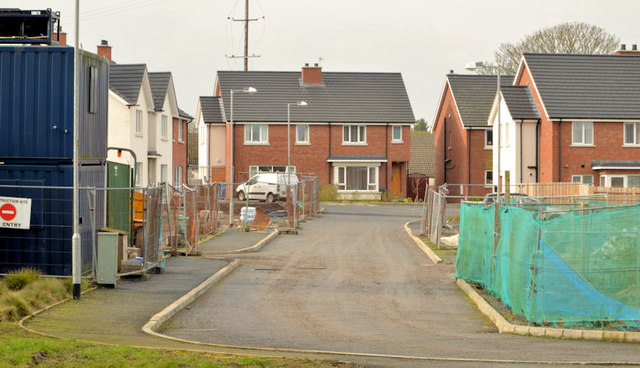
Image: © Albert Bridge Taken: 8 Mar 2014
See Image (November 2011). To the best of my knowledge this was another of the new housing developments stalled by the recession. Now being advertised by an estate agent with some of the houses occupied. This photograph appears as matter of geographical and historical record only. I have no connection with any of the parties involved in the sale or construction.
Images are licensed for reuse under creativecommons.org/licenses/by-sa/2.0
Image Location
Latitude
54.638356
Longitude
-5.535293