Pillbox near Cwmffrwd, Carmarthen
Introduction
The photograph on this page of Pillbox near Cwmffrwd, Carmarthen by Nigel Davies as part of the Geograph project.
The Geograph project started in 2005 with the aim of publishing, organising and preserving representative images for every square kilometre of Great Britain, Ireland and the Isle of Man.

There are currently over 7.5m images from over 14,400 individuals and you can help contribute to the project by visiting https://www.geograph.org.uk
Pillbox near Cwmffrwd, Carmarthen
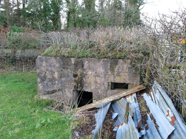
Image: © Nigel Davies Taken: 7 Mar 2014
This pillbox protected the junction of the A484 and B4309 roads south of Carmarthen. It is situated in a field and is now completely hidden from the roads it protected by a hedge. See Image Technical details are available on the Defence Of Britain database here http://archaeologydataservice.ac.uk/archives/view/dob/ai_full_r.cfm?refno=3285
Images are licensed for reuse under creativecommons.org/licenses/by-sa/2.0
Image Location
Latitude
51.825609
Longitude
-4.285241