Arnold, NG5, Notts.
Introduction
The photograph on this page of Arnold, NG5, Notts. by David Hallam-Jones as part of the Geograph project.
The Geograph project started in 2005 with the aim of publishing, organising and preserving representative images for every square kilometre of Great Britain, Ireland and the Isle of Man.

There are currently over 7.5m images from over 14,400 individuals and you can help contribute to the project by visiting https://www.geograph.org.uk
Arnold, NG5, Notts.
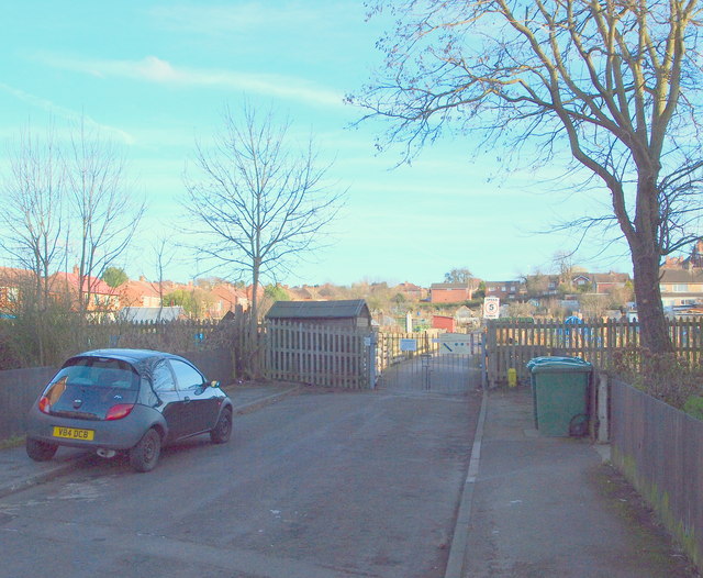
Image: © David Hallam-Jones Taken: 7 Mar 2014
With most of this short road - Gedling Grove - behind the photographer, this is the gated entrance to the Gedling Grove Allotment site (a Borough of Gedling facility) at the closed end of the cul-de-sac.
Images are licensed for reuse under creativecommons.org/licenses/by-sa/2.0
Image Location
Latitude
53.001698
Longitude
-1.123623