Afon Llanfairfechan
Introduction
The photograph on this page of Afon Llanfairfechan by Jonathan Wilkins as part of the Geograph project.
The Geograph project started in 2005 with the aim of publishing, organising and preserving representative images for every square kilometre of Great Britain, Ireland and the Isle of Man.

There are currently over 7.5m images from over 14,400 individuals and you can help contribute to the project by visiting https://www.geograph.org.uk
Afon Llanfairfechan
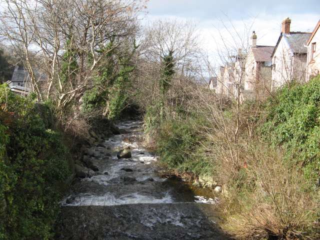
Image: © Jonathan Wilkins Taken: 7 Mar 2014
The upper town ascends the steep valley of the Afon Llanfairfechan with a road on each bank. Here, Nantyfelin Road crosses a bridge to reach Valley Road on the eastern bank. The riverbed is strewn with large, glacially-derived boulders and the sound of the rushing water fills the valley.
Images are licensed for reuse under creativecommons.org/licenses/by-sa/2.0
Image Location
Latitude
53.248528
Longitude
-3.969157