North Down borough boundary sign, Holywood
Introduction
The photograph on this page of North Down borough boundary sign, Holywood by Albert Bridge as part of the Geograph project.
The Geograph project started in 2005 with the aim of publishing, organising and preserving representative images for every square kilometre of Great Britain, Ireland and the Isle of Man.

There are currently over 7.5m images from over 14,400 individuals and you can help contribute to the project by visiting https://www.geograph.org.uk
North Down borough boundary sign, Holywood
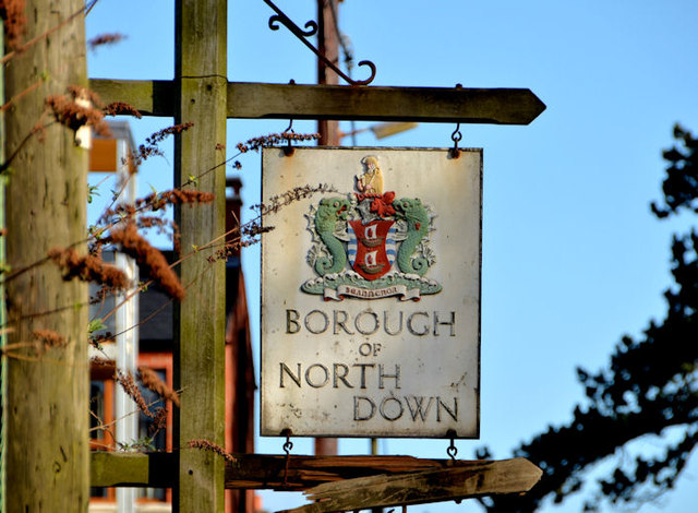
Image: © Albert Bridge Taken: 7 Mar 2014
One of the old style of North Down Borough Council signs, at the boundary with Belfast, on the Old Holywood Road. It can also be seen, at middle left, in Image Under the proposed arrangements for the reorganisation of local government North Down and Ards councils will be merged. See also Image
Images are licensed for reuse under creativecommons.org/licenses/by-sa/2.0
Image Location
Latitude
54.618987
Longitude
-5.848306