Pages's Wood, Wettenhall Brook and the Parish Boundary
Introduction
The photograph on this page of Pages's Wood, Wettenhall Brook and the Parish Boundary by John S Turner as part of the Geograph project.
The Geograph project started in 2005 with the aim of publishing, organising and preserving representative images for every square kilometre of Great Britain, Ireland and the Isle of Man.

There are currently over 7.5m images from over 14,400 individuals and you can help contribute to the project by visiting https://www.geograph.org.uk
Pages's Wood, Wettenhall Brook and the Parish Boundary
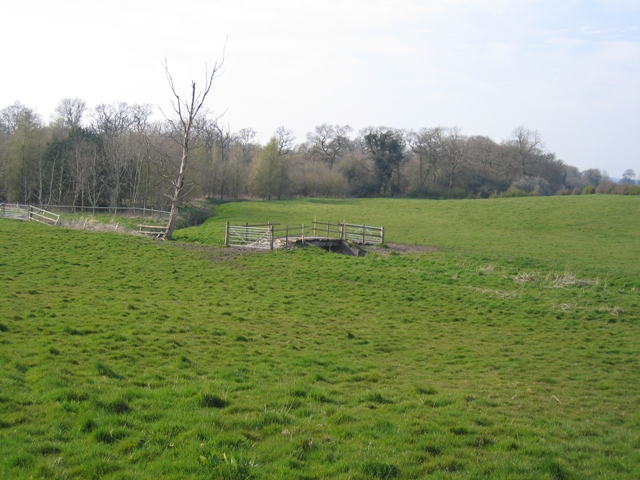
Image: © John S Turner Taken: 2 Apr 2007
The civil parish boundary follows Wettenhall Brook along the edge of Pages's Wood and then turns with the brook to cross the farmland under the farm bridge. Alpraham CP is to the left and Rushton CP to the right. The public footpath keeps to the hedge line behind the camera.
Images are licensed for reuse under creativecommons.org/licenses/by-sa/2.0
Image Location
Latitude
53.145059
Longitude
-2.604114