Flood water north of Hatchers Lane
Introduction
The photograph on this page of Flood water north of Hatchers Lane by Peter Facey as part of the Geograph project.
The Geograph project started in 2005 with the aim of publishing, organising and preserving representative images for every square kilometre of Great Britain, Ireland and the Isle of Man.

There are currently over 7.5m images from over 14,400 individuals and you can help contribute to the project by visiting https://www.geograph.org.uk
Flood water north of Hatchers Lane
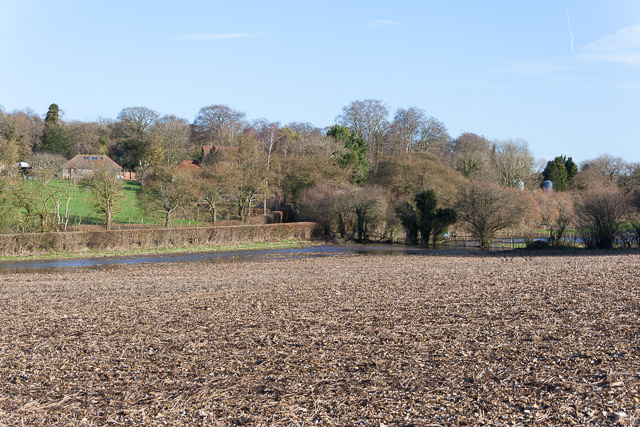
Image: © Peter Facey Taken: 21 Feb 2014
The water was flowing in the valley from Image, beside Hensting Lane but on the field side of the hedge, until it got to Image
Images are licensed for reuse under creativecommons.org/licenses/by-sa/2.0
Image Location


Leaflet Map data © OpenStreetMap
Latitude
51.014816
Longitude
-1.271356