Bandstand - Ryelands Park Lancaster
Introduction
The photograph on this page of Bandstand - Ryelands Park Lancaster by Tom Howard as part of the Geograph project.
The Geograph project started in 2005 with the aim of publishing, organising and preserving representative images for every square kilometre of Great Britain, Ireland and the Isle of Man.

There are currently over 7.5m images from over 14,400 individuals and you can help contribute to the project by visiting https://www.geograph.org.uk
Bandstand - Ryelands Park Lancaster
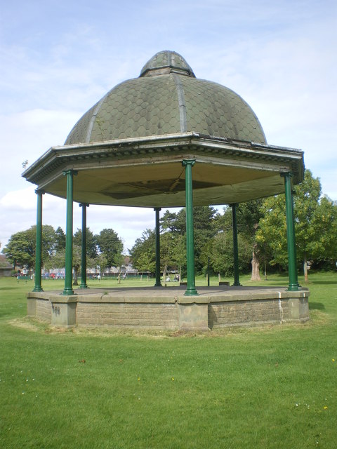
Image: © Tom Howard Taken: 12 Jul 2011
I recall brass and silver bands playing in this old bandstand in the 50s and early 60s. Back then it had an ornate metal fence between the pillars.
Images are licensed for reuse under creativecommons.org/licenses/by-sa/2.0
Image Location
Latitude
54.056566
Longitude
-2.804707