National Grid box in Church Stretton
Introduction
The photograph on this page of National Grid box in Church Stretton by Jaggery as part of the Geograph project.
The Geograph project started in 2005 with the aim of publishing, organising and preserving representative images for every square kilometre of Great Britain, Ireland and the Isle of Man.

There are currently over 7.5m images from over 14,400 individuals and you can help contribute to the project by visiting https://www.geograph.org.uk
National Grid box in Church Stretton
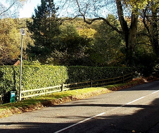
Image: © Jaggery Taken: 29 Oct 2013
The small green box on the left is alongside the B4371 Sandford Avenue.
Images are licensed for reuse under creativecommons.org/licenses/by-sa/2.0
Image Location
Latitude
52.53689
Longitude
-2.791521