Pond, The Tumps
Introduction
The photograph on this page of Pond, The Tumps by Derek Harper as part of the Geograph project.
The Geograph project started in 2005 with the aim of publishing, organising and preserving representative images for every square kilometre of Great Britain, Ireland and the Isle of Man.

There are currently over 7.5m images from over 14,400 individuals and you can help contribute to the project by visiting https://www.geograph.org.uk
Pond, The Tumps
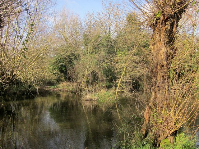
Image: © Derek Harper Taken: 22 Feb 2014
To accompany Image] and Image The Tumps are a hillocky wooded area created from the dumping of spoil from the two railway tunnels that run beneath.
Images are licensed for reuse under creativecommons.org/licenses/by-sa/2.0
Image Location
Latitude
51.540573
Longitude
-2.584066