East end of motorway footbridge, Patchway
Introduction
The photograph on this page of East end of motorway footbridge, Patchway by Derek Harper as part of the Geograph project.
The Geograph project started in 2005 with the aim of publishing, organising and preserving representative images for every square kilometre of Great Britain, Ireland and the Isle of Man.

There are currently over 7.5m images from over 14,400 individuals and you can help contribute to the project by visiting https://www.geograph.org.uk
East end of motorway footbridge, Patchway
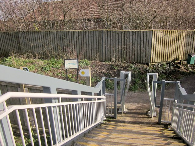
Image: © Derek Harper Taken: 22 Feb 2014
A squeeze stile to correspond with Image] at the other end. To the left, the Community Forest Path, following footpath OAY/53, runs alongside the M5 for about 200 metres to reach The Tumps. The other way, footpath OAY/53 turns right through the Patchway estate.
Images are licensed for reuse under creativecommons.org/licenses/by-sa/2.0
Image Location
Latitude
51.539843
Longitude
-2.58622