Cycle path, A34
Introduction
The photograph on this page of Cycle path, A34 by Richard Webb as part of the Geograph project.
The Geograph project started in 2005 with the aim of publishing, organising and preserving representative images for every square kilometre of Great Britain, Ireland and the Isle of Man.

There are currently over 7.5m images from over 14,400 individuals and you can help contribute to the project by visiting https://www.geograph.org.uk
Cycle path, A34
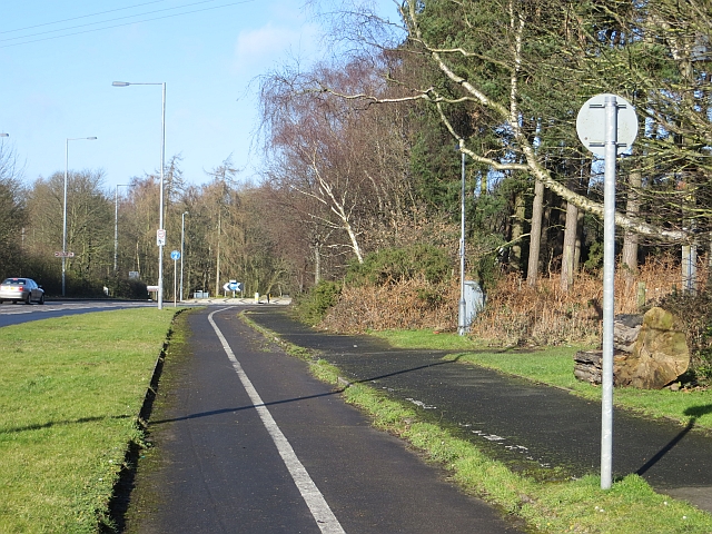
Image: © Richard Webb Taken: 16 Feb 2014
Watch out for the exit onto the Pottal Bank road. The path ends abruptly forcing a dangerous exit onto the road by the roundabout.
Images are licensed for reuse under creativecommons.org/licenses/by-sa/2.0
Image Location
Latitude
52.726157
Longitude
-2.042157