Traffic calming measure by the Down High School in Bridge Street
Introduction
The photograph on this page of Traffic calming measure by the Down High School in Bridge Street by Eric Jones as part of the Geograph project.
The Geograph project started in 2005 with the aim of publishing, organising and preserving representative images for every square kilometre of Great Britain, Ireland and the Isle of Man.

There are currently over 7.5m images from over 14,400 individuals and you can help contribute to the project by visiting https://www.geograph.org.uk
Traffic calming measure by the Down High School in Bridge Street
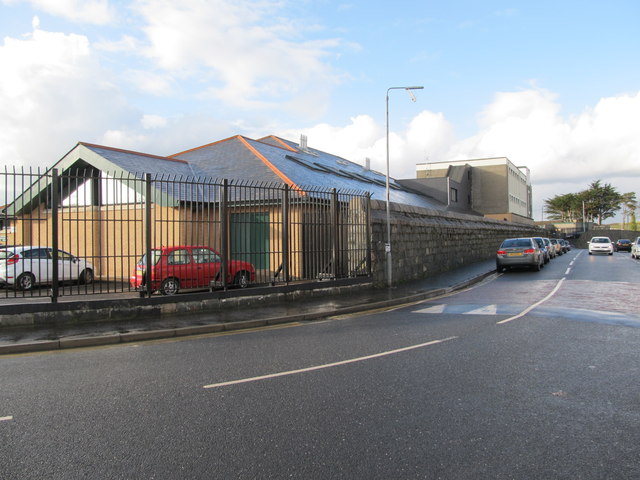
Image: © Eric Jones Taken: 4 Mar 2014
The wall surrounding the school dates from the time when the site was part of the Down County Gaol.
Images are licensed for reuse under creativecommons.org/licenses/by-sa/2.0
Image Location
Latitude
54.330216
Longitude
-5.717359