Dundonald Methodist church, Ballybeen
Introduction
The photograph on this page of Dundonald Methodist church, Ballybeen by Albert Bridge as part of the Geograph project.
The Geograph project started in 2005 with the aim of publishing, organising and preserving representative images for every square kilometre of Great Britain, Ireland and the Isle of Man.

There are currently over 7.5m images from over 14,400 individuals and you can help contribute to the project by visiting https://www.geograph.org.uk
Dundonald Methodist church, Ballybeen
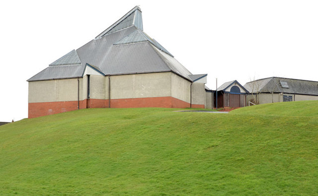
Image: © Albert Bridge Taken: 6 Mar 2014
Dundonald Methodist church http://www.dundonaldmethodist.org/ built in 1969, on an elevated site, at Inchmarnock Drive in the Ballybeen estate.
Images are licensed for reuse under creativecommons.org/licenses/by-sa/2.0
Image Location
Latitude
54.589924
Longitude
-5.796151