Gaol Lane Mews leading to English Street, Downpatrick
Introduction
The photograph on this page of Gaol Lane Mews leading to English Street, Downpatrick by Eric Jones as part of the Geograph project.
The Geograph project started in 2005 with the aim of publishing, organising and preserving representative images for every square kilometre of Great Britain, Ireland and the Isle of Man.

There are currently over 7.5m images from over 14,400 individuals and you can help contribute to the project by visiting https://www.geograph.org.uk
Gaol Lane Mews leading to English Street, Downpatrick
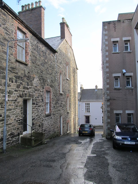
Image: © Eric Jones Taken: 4 Mar 2014
The white building in English Street is the town's former Customs House. The Customs House was built by Edward Southwell in 1745.
Images are licensed for reuse under creativecommons.org/licenses/by-sa/2.0
Image Location
Latitude
54.328879
Longitude
-5.717895