The Menai Green Belt
Introduction
The photograph on this page of The Menai Green Belt by Eric Jones as part of the Geograph project.
The Geograph project started in 2005 with the aim of publishing, organising and preserving representative images for every square kilometre of Great Britain, Ireland and the Isle of Man.

There are currently over 7.5m images from over 14,400 individuals and you can help contribute to the project by visiting https://www.geograph.org.uk
The Menai Green Belt
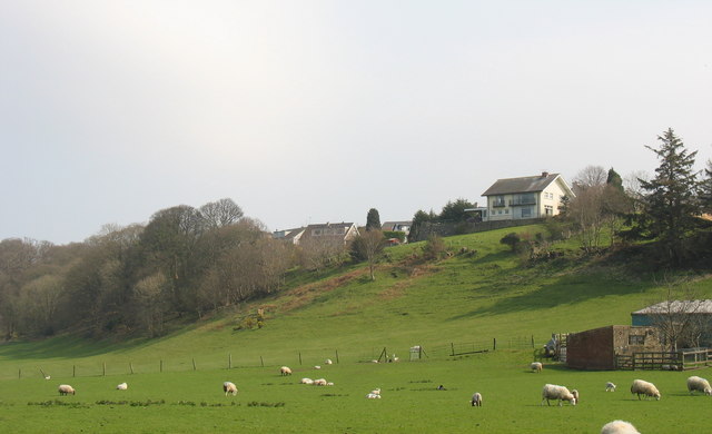
Image: © Eric Jones Taken: 31 Mar 2007
Much of the Menai coastal belt in the area between Caernarfon and Bangor has been preserved from development, largely due to the fact that until recently much of this land was the parkland of a number of large estates.
Images are licensed for reuse under creativecommons.org/licenses/by-sa/2.0
Image Location
Latitude
53.222099
Longitude
-4.151001