The start of Stone Lodge Lane
Introduction
The photograph on this page of The start of Stone Lodge Lane by Hamish Griffin as part of the Geograph project.
The Geograph project started in 2005 with the aim of publishing, organising and preserving representative images for every square kilometre of Great Britain, Ireland and the Isle of Man.

There are currently over 7.5m images from over 14,400 individuals and you can help contribute to the project by visiting https://www.geograph.org.uk
The start of Stone Lodge Lane
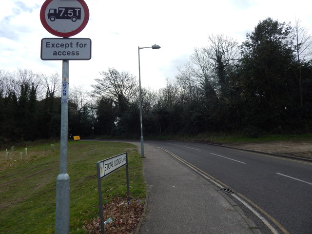
Image: © Hamish Griffin Taken: 6 Mar 2014
This could be referred to as "Stone Lodge Lane East" as there is Stone Lodge Lane West, the other side of Birkfield Drive from the staggered junction.
Images are licensed for reuse under creativecommons.org/licenses/by-sa/2.0
Image Location
Latitude
52.046433
Longitude
1.13509