Pontardawe Fire Station
Introduction
The photograph on this page of Pontardawe Fire Station by Jaggery as part of the Geograph project.
The Geograph project started in 2005 with the aim of publishing, organising and preserving representative images for every square kilometre of Great Britain, Ireland and the Isle of Man.

There are currently over 7.5m images from over 14,400 individuals and you can help contribute to the project by visiting https://www.geograph.org.uk
Pontardawe Fire Station
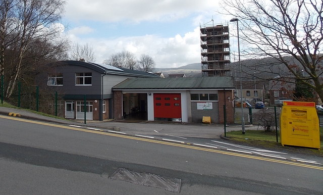
Image: © Jaggery Taken: 1 Mar 2014
Viewed across Allt-y-cham Drive. Pontardawe Fire Station is part of the Neath Port Talbot County Command of the Mid and West Wales Fire and Rescue Service. The building dates from the late 1960s.
Images are licensed for reuse under creativecommons.org/licenses/by-sa/2.0
Image Location
Latitude
51.722336
Longitude
-3.85348