Powerlines crossing the N52 Quoile Marshes
Introduction
The photograph on this page of Powerlines crossing the N52 Quoile Marshes by Eric Jones as part of the Geograph project.
The Geograph project started in 2005 with the aim of publishing, organising and preserving representative images for every square kilometre of Great Britain, Ireland and the Isle of Man.

There are currently over 7.5m images from over 14,400 individuals and you can help contribute to the project by visiting https://www.geograph.org.uk
Powerlines crossing the N52 Quoile Marshes
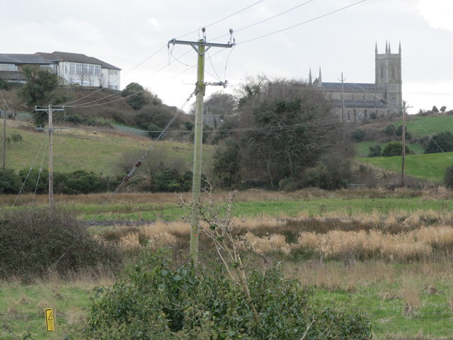
Image: © Eric Jones Taken: 4 Mar 2014
These follow the low ground between Down Cathedral on the right and Down High School on the left.
Images are licensed for reuse under creativecommons.org/licenses/by-sa/2.0
Image Location
Latitude
54.332953
Longitude
-5.719514