The Afon Garw/River Garw at Bryngarw Country Park
Introduction
The photograph on this page of The Afon Garw/River Garw at Bryngarw Country Park by eswales as part of the Geograph project.
The Geograph project started in 2005 with the aim of publishing, organising and preserving representative images for every square kilometre of Great Britain, Ireland and the Isle of Man.

There are currently over 7.5m images from over 14,400 individuals and you can help contribute to the project by visiting https://www.geograph.org.uk
The Afon Garw/River Garw at Bryngarw Country Park
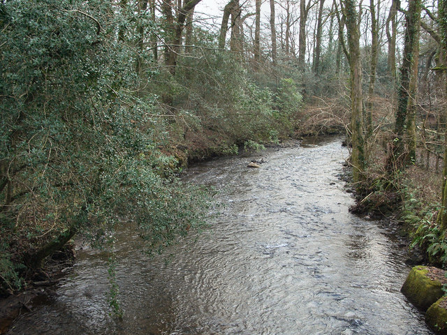
Image: © eswales Taken: Unknown
A view downstream from a footbridge over the river at the country park. The bridge lies at the southern end of the Garw Valley Community Route – a path for cyclists and walkers which runs up to Blaengarw at the head of the valley.
Images are licensed for reuse under creativecommons.org/licenses/by-sa/2.0
Image Location
Latitude
51.557074
Longitude
-3.57943