Chapleton burn at Balkenna Bridge
Introduction
The photograph on this page of Chapleton burn at Balkenna Bridge by Elizabeth Angus as part of the Geograph project.
The Geograph project started in 2005 with the aim of publishing, organising and preserving representative images for every square kilometre of Great Britain, Ireland and the Isle of Man.

There are currently over 7.5m images from over 14,400 individuals and you can help contribute to the project by visiting https://www.geograph.org.uk
Chapleton burn at Balkenna Bridge
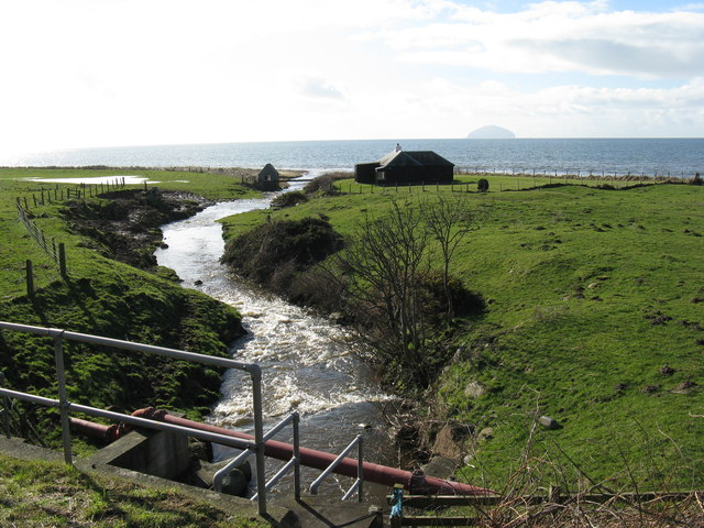
Image: © Elizabeth Angus Taken: 3 Mar 2014
Looking seaward down the burn, taken from the road bridge. High tide necessitated a detour from the shore walk - looked too deep to wade! A vehicle track runs back down to the shore on the other side of the holiday hut. Ailsa Craig on horizon.
Images are licensed for reuse under creativecommons.org/licenses/by-sa/2.0
Image Location
Latitude
55.302848
Longitude
-4.837149