Opium Den in Oxford
Introduction
The photograph on this page of Opium Den in Oxford by Jaggery as part of the Geograph project.
The Geograph project started in 2005 with the aim of publishing, organising and preserving representative images for every square kilometre of Great Britain, Ireland and the Isle of Man.

There are currently over 7.5m images from over 14,400 individuals and you can help contribute to the project by visiting https://www.geograph.org.uk
Opium Den in Oxford
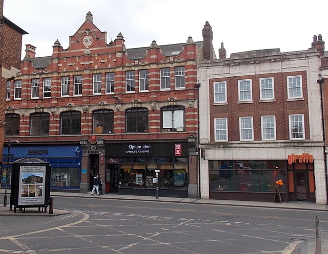
Image: © Jaggery Taken: 31 Mar 2013
Viewed across George Street from Chain Alley. Flanking Opium Den Chinese cuisine restaurant are Jessops on the left and Giraffe restaurant on the right. The year 1908 is inscribed at the top of the building on the left.
Images are licensed for reuse under creativecommons.org/licenses/by-sa/2.0
Image Location
Latitude
51.753351
Longitude
-1.263014