Fallen tree and footbridge
Introduction
The photograph on this page of Fallen tree and footbridge by Ian Calderwood as part of the Geograph project.
The Geograph project started in 2005 with the aim of publishing, organising and preserving representative images for every square kilometre of Great Britain, Ireland and the Isle of Man.

There are currently over 7.5m images from over 14,400 individuals and you can help contribute to the project by visiting https://www.geograph.org.uk
Fallen tree and footbridge
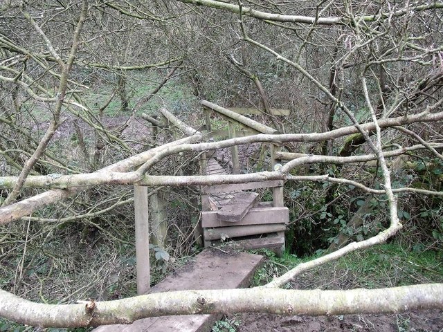
Image: © Ian Calderwood Taken: 2 Mar 2014
This little footbridge carries the link between the footpath at Ross Bridge and the Staffordshire Way. As recently as the 1990s, the two paths used to connect further to the south-east at a different crossing of the Churnet.
Images are licensed for reuse under creativecommons.org/licenses/by-sa/2.0
Image Location


Leaflet Map data © OpenStreetMap
Latitude
53.009413
Longitude
-1.958825