Cleughearn Burn
Introduction
The photograph on this page of Cleughearn Burn by G Laird as part of the Geograph project.
The Geograph project started in 2005 with the aim of publishing, organising and preserving representative images for every square kilometre of Great Britain, Ireland and the Isle of Man.

There are currently over 7.5m images from over 14,400 individuals and you can help contribute to the project by visiting https://www.geograph.org.uk
Cleughearn Burn
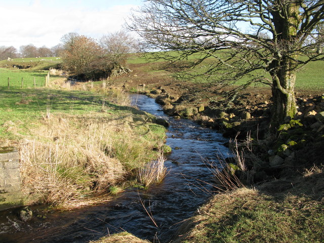
Image: © G Laird Taken: 16 Feb 2014
Looking north from a road bridge on High Cleughearn Road which runs very close to the burn at this point.
Images are licensed for reuse under creativecommons.org/licenses/by-sa/2.0
Image Location
Latitude
55.713951
Longitude
-4.180987