Footpath and field south of Bishopstoke Cemetery
Introduction
The photograph on this page of Footpath and field south of Bishopstoke Cemetery by Peter Facey as part of the Geograph project.
The Geograph project started in 2005 with the aim of publishing, organising and preserving representative images for every square kilometre of Great Britain, Ireland and the Isle of Man.

There are currently over 7.5m images from over 14,400 individuals and you can help contribute to the project by visiting https://www.geograph.org.uk
Footpath and field south of Bishopstoke Cemetery
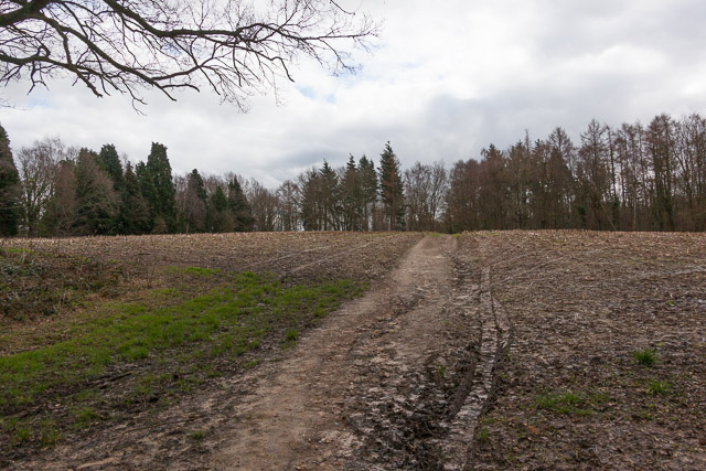
Image: © Peter Facey Taken: 4 Mar 2014
This is the field that would be made available as an extension to the cemetery, should the proposed development be approved. The footpath affords access to Stoke Park Wood which is Forestry Commission property.
Images are licensed for reuse under creativecommons.org/licenses/by-sa/2.0
Image Location
Latitude
50.976754
Longitude
-1.327218