Warren Road
Introduction
The photograph on this page of Warren Road by Robin Webster as part of the Geograph project.
The Geograph project started in 2005 with the aim of publishing, organising and preserving representative images for every square kilometre of Great Britain, Ireland and the Isle of Man.

There are currently over 7.5m images from over 14,400 individuals and you can help contribute to the project by visiting https://www.geograph.org.uk
Warren Road
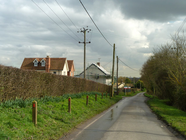
Image: © Robin Webster Taken: 4 Mar 2014
The scaffolded house is the original house here at Uplands Farm, the two houses to the left are new build.
Images are licensed for reuse under creativecommons.org/licenses/by-sa/2.0
Image Location
Latitude
51.643878
Longitude
0.534777