C2C at Leadgate
Introduction
The photograph on this page of C2C at Leadgate by Oliver Dixon as part of the Geograph project.
The Geograph project started in 2005 with the aim of publishing, organising and preserving representative images for every square kilometre of Great Britain, Ireland and the Isle of Man.

There are currently over 7.5m images from over 14,400 individuals and you can help contribute to the project by visiting https://www.geograph.org.uk
C2C at Leadgate
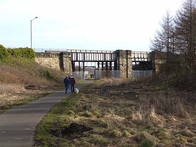
Image: © Oliver Dixon Taken: 28 Feb 2014
The old Stanhope and Tyne railway (also known at one point in its history as the Pontop and South Shields Railway) was built to supply the Consett Ironworks with raw material, with a link to the coast. This section of the line was one of the oldest in the country, built in 1834. The track was lifted by 1985. The trackbed has now been converted to form the Consett and Sunderland path (part of the famous C2C cycle route, National Cycle Network route 7). The bridge carries the Leadgate By-pass (A692, Castleside to Chester-le-Street) road.
Images are licensed for reuse under creativecommons.org/licenses/by-sa/2.0
Image Location
Latitude
54.858779
Longitude
-1.814752