Rhymney United Welsh Chapel, Rhymney
Introduction
The photograph on this page of Rhymney United Welsh Chapel, Rhymney by Jaggery as part of the Geograph project.
The Geograph project started in 2005 with the aim of publishing, organising and preserving representative images for every square kilometre of Great Britain, Ireland and the Isle of Man.

There are currently over 7.5m images from over 14,400 individuals and you can help contribute to the project by visiting https://www.geograph.org.uk
Rhymney United Welsh Chapel, Rhymney
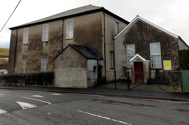
Image: © Jaggery Taken: 17 Jan 2014
Viewed across King Edward Terrace. The yellow nameboard shows Rhymney United Welsh Chapel. The large building on the left is Penuel Baptist chapel. http://www.geograph.org.uk/photo/3871497
Images are licensed for reuse under creativecommons.org/licenses/by-sa/2.0
Image Location
Latitude
51.765752
Longitude
-3.28993