Horseshoe Close
Introduction
The photograph on this page of Horseshoe Close by Alan Murray-Rust as part of the Geograph project.
The Geograph project started in 2005 with the aim of publishing, organising and preserving representative images for every square kilometre of Great Britain, Ireland and the Isle of Man.

There are currently over 7.5m images from over 14,400 individuals and you can help contribute to the project by visiting https://www.geograph.org.uk
Horseshoe Close
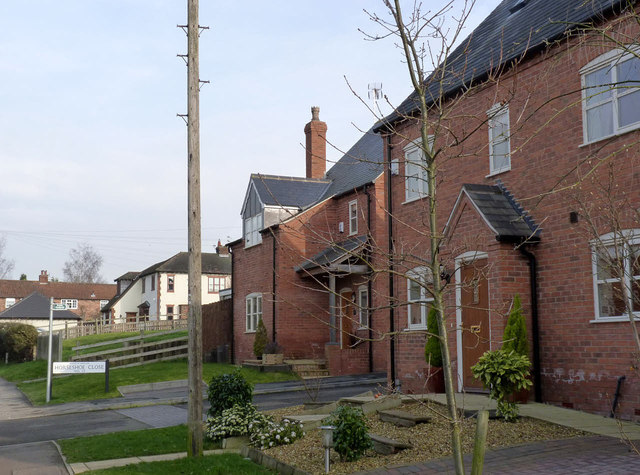
Image: © Alan Murray-Rust Taken: 28 Feb 2014
This development of modern houses stands on the site of the former Three Horseshoes public house; this in turn replaced the older Horse Shoe inn, hence the name.
Images are licensed for reuse under creativecommons.org/licenses/by-sa/2.0
Image Location
Latitude
52.822263
Longitude
-1.053037