East Road, Wymeswold
Introduction
The photograph on this page of East Road, Wymeswold by Alan Murray-Rust as part of the Geograph project.
The Geograph project started in 2005 with the aim of publishing, organising and preserving representative images for every square kilometre of Great Britain, Ireland and the Isle of Man.

There are currently over 7.5m images from over 14,400 individuals and you can help contribute to the project by visiting https://www.geograph.org.uk
East Road, Wymeswold
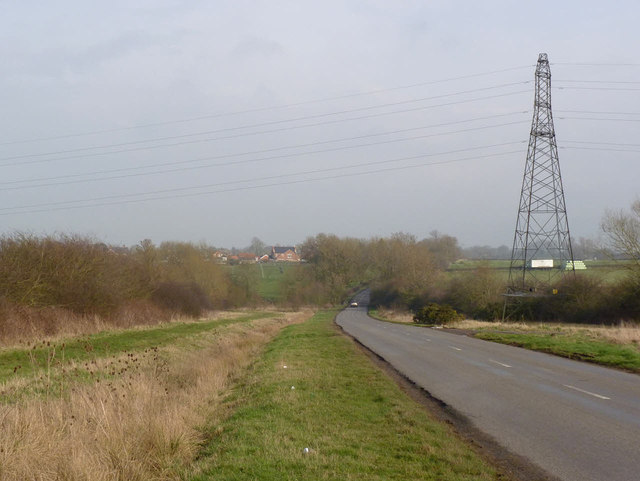
Image: © Alan Murray-Rust Taken: 28 Feb 2014
Note the wide verges which seem to have been specific here to the parish of Wymeswold. They finish abruptly at the bottom of the dip, where the stream marks both parish and county boundaries. The road is marked on OS maps as unfenced, although the verges are fully separated from the adjoining fields. The verges would have been used for common grazing of cattle.
Images are licensed for reuse under creativecommons.org/licenses/by-sa/2.0
Image Location


Leaflet Map data © OpenStreetMap
Latitude
52.818104
Longitude
-1.072714