Barn conversion, Wysall
Introduction
The photograph on this page of Barn conversion, Wysall by Alan Murray-Rust as part of the Geograph project.
The Geograph project started in 2005 with the aim of publishing, organising and preserving representative images for every square kilometre of Great Britain, Ireland and the Isle of Man.

There are currently over 7.5m images from over 14,400 individuals and you can help contribute to the project by visiting https://www.geograph.org.uk
Barn conversion, Wysall
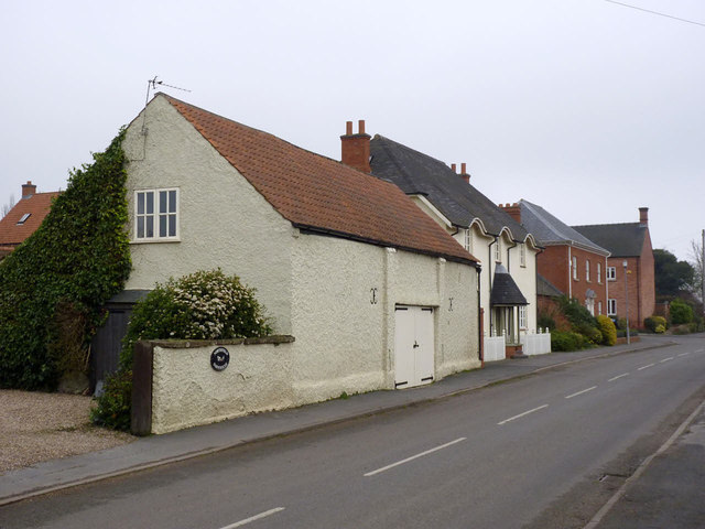
Image: © Alan Murray-Rust Taken: 28 Feb 2014
Beyond the old barn are modern houses pretending to look old.
Images are licensed for reuse under creativecommons.org/licenses/by-sa/2.0
Image Location
Latitude
52.840079
Longitude
-1.101344