Gyratory, Ballygowan Road near Belfast (8)
Introduction
The photograph on this page of Gyratory, Ballygowan Road near Belfast (8) by Albert Bridge as part of the Geograph project.
The Geograph project started in 2005 with the aim of publishing, organising and preserving representative images for every square kilometre of Great Britain, Ireland and the Isle of Man.

There are currently over 7.5m images from over 14,400 individuals and you can help contribute to the project by visiting https://www.geograph.org.uk
Gyratory, Ballygowan Road near Belfast (8)
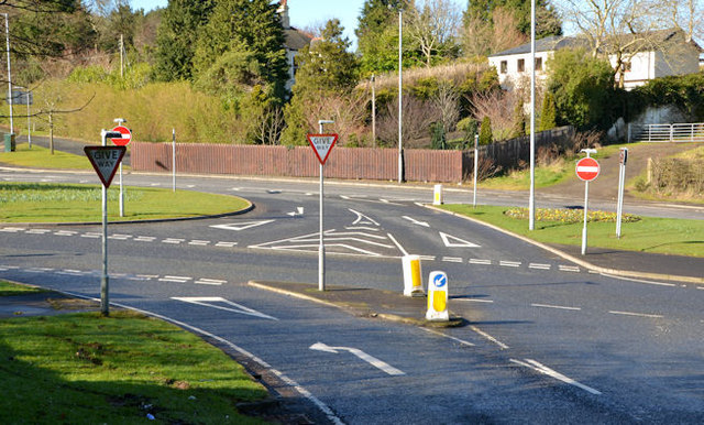
Image: © Albert Bridge Taken: 3 Mar 2014
The view from the Upper Braniel Road with the southbound lane of the Ballygowan Road in the foreground and the northbound in the background.
Images are licensed for reuse under creativecommons.org/licenses/by-sa/2.0
Image Location
Latitude
54.567554
Longitude
-5.866481