Dumpton Park station, 1990
Introduction
The photograph on this page of Dumpton Park station, 1990 by Ben Brooksbank as part of the Geograph project.
The Geograph project started in 2005 with the aim of publishing, organising and preserving representative images for every square kilometre of Great Britain, Ireland and the Isle of Man.

There are currently over 7.5m images from over 14,400 individuals and you can help contribute to the project by visiting https://www.geograph.org.uk
Dumpton Park station, 1990
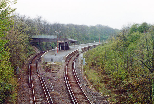
Image: © Ben Brooksbank Taken: 13 Apr 1990
View westward from Hereson Road bridge, towards Margate, Faversham, Chatham and London. The station was opened 19/7/26, when the SR built a new short-cut connecting the former SER and LC&DR routes between Margate and Ramsgate.
Images are licensed for reuse under creativecommons.org/licenses/by-sa/2.0
Image Location
Latitude
51.345729
Longitude
1.425677