Beech Hedge
Introduction
The photograph on this page of Beech Hedge by David Clark as part of the Geograph project.
The Geograph project started in 2005 with the aim of publishing, organising and preserving representative images for every square kilometre of Great Britain, Ireland and the Isle of Man.

There are currently over 7.5m images from over 14,400 individuals and you can help contribute to the project by visiting https://www.geograph.org.uk
Beech Hedge
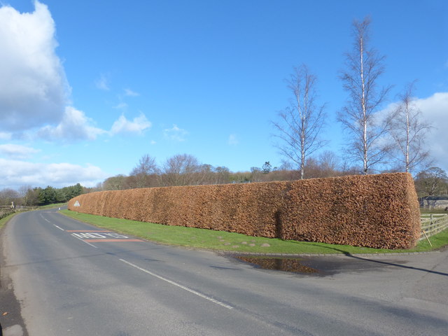
Image: © David Clark Taken: 27 Feb 2014
In February afternoon sunshine. Boundary on the East side of the B6354 that leads from Etal to Duddo.
Images are licensed for reuse under creativecommons.org/licenses/by-sa/2.0
Image Location


Leaflet Map data © OpenStreetMap
Latitude
55.648444
Longitude
-2.116444